
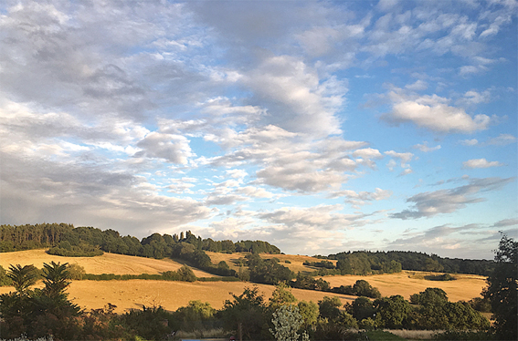

Alvechurch amateur weatherman Phil Thomas records the changes.
From the middle of May onwards, temperatures have been considerably higher than normal. The last meaningful rainfall was on May 25/26th. Since then only 5.5mm has fallen, hence the drought conditions we are now experiencing.
Parallels have been drawn with 1976. However, the temperatures then were higher with many days reaching 33–35C. The ground was also much drier, due to a very dry 1975.
If August follows suit, 2018 will be in the top five warmest summers in England since records began.
July 2018 (to the 20th)
Mean Max 26.5C 4.9 above average
Mean Min 12.9C 0.7 above average
Mean 19.7C 2.8 above average
Rainfall 0 mm 0% of average
Sunshine 182.3 hrs 117% of average
June 2018
Mean Max 21.6C 2.6 above average
Mean Min 11.2C 1.4 above average
Mean 16.4C 2.0 above average
Rainfall 5.5mm 9% of average
Sunshine 234.2 hrs 172% of average
June was extremely dry with rainfall of just 5.5mm, the second-driest month in my records since 1990. The only drier month was April 2011 with 4mm. July’s daytime temperatures were very high with a maximum of 30.1C on the 5th. As we went to press, there had been no recorded rainfall since June 16th, and then only 1.2mm.
Outlook
Models suggest that the weather pattern will only evolve very slowly. The west of the UK is likely to see more in the way of breezier, cloudier conditions, while further east, drier and more settled weather is expected to dominate, with the ongoing risk of showers or thunderstorms. Temperatures generally remaining above average for most, with the potential for further spells of very warm or hot conditions, and possibly very hot in some areas. We will see!
More information at www.alvechurchweather.metsite.com
You can see an improved HD weather-cam, updated at one-minute intervals,
at: www.alvechurchweather.metsite.com/webcam_alvechurch.php
