
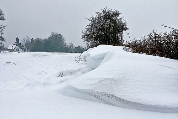
 Alvechurch amateur weatherman Phil Thomas records the changes.
March continued in the same pattern as February, with very cold temperatures. The 1st was an ice day (when the temperature stays below zero) with a maximum of –2.3C, followed by –1.0C on the 2nd and –0.3C on the 18th. To get days like this in March is quite unusual in the Midlands.
The middle of March turned much milder before temperatures plummeted on the night of the 16th, with further snow.
March 2018 (to the 20th)
Mean Max 7.3C 2.5 below average
Mean Min 0.7C 1.7 below average
Mean 4.0C 2.1 below average
Rainfall 75.0mm 167% of average
Sunshine 30.0 hrs 32% of average
February had only 28.1mm of rainfall, but a huge 102.2 hours of sunshine. However, daytime temperatures stayed low all month. Only one day reached double figures: 10.5C on the 19th.
The month was significantly colder than the local mean, with 13 air frosts and 23 ground frosts. On the 28th the air temperature only reached -1.2C.
February 2018
Mean Max 5.6C 1.7 below average
Mean Min –0.1C 1.0 below average
Mean 2.8C 1.4 below average
Rainfall 28.1mm 53% of average
Sunshine 102.2 hrs 168% of average
Winter Means 2017–18
Mean Max 6.8C 0.2 below average
Mean Min 1.3C 0.2 below average
Mean 4.0C 0.2 below average
Rainfall 233.6mm 123% of average
Sunshine 226.8 hrs 142% of average
Outlook
The cold spells of late February and March were due to Stratospheric Warming and a change in the Jet Stream. These winds from the east are commonly called “The Beast from the East”. This pattern is rare these days but produces a very cold air stream and often snow and blizzards.
The further outlook in the coming weeks is for a colder or cooler than normal start to spring. Temperatures should gradually climb back towards the normal level – but this may also bring more changeable weather.
More information at https://www.alvechurchweather.metsite.com
You can see an improved HD weather-cam, updated at one-minute intervals,
at: https://www.alvechurchweather.metsite.com/webcam_alvechurch.php
